Print your own hiking map.

Pick an area, check the pages, export an A4 PDF. Made from OpenStreetMap with a map style built for hikers.

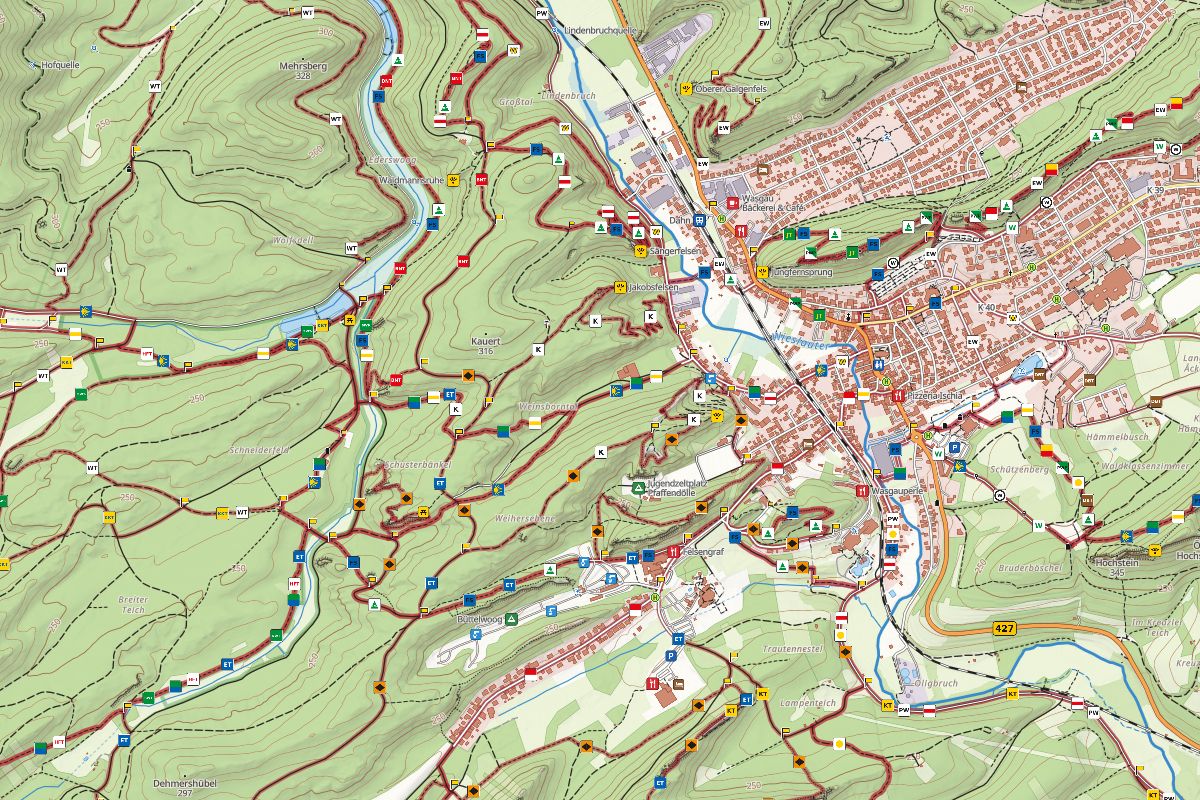
Hiking map of Dahn in the Palatinate Forest: marked trails with waymark signs, huts, viewpoints and contour lines with shaded relief around the town

Less screen, more trail.

If you don't want to keep checking your phone while you walk, take the map on paper. No battery, no reception needed, the whole day at a glance, and more time for the woods around you.

What you get

A map you can fold into your pocket, made for the area you are actually going to walk.

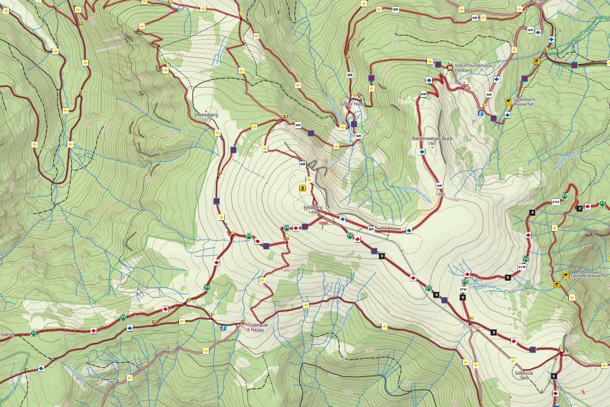
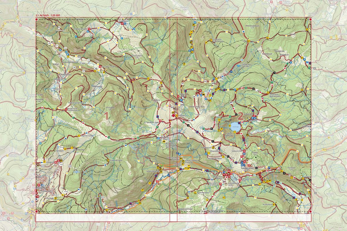
Print view of two numbered A4 portrait pages at 1:25,000 around the Feldberg, with the page frame, overlap and a shaded border around the printed area

Print it

Set the area and let the app cut it into A4 pages. You get one PDF, ready to print.

  • A4 portrait or landscape
  • Scale 1:15,000, 1:25,000 or 1:50,000, or choose the number of pages
  • Multi-page PDF at 300 dpi
  • Scale bar and source line on the page margin
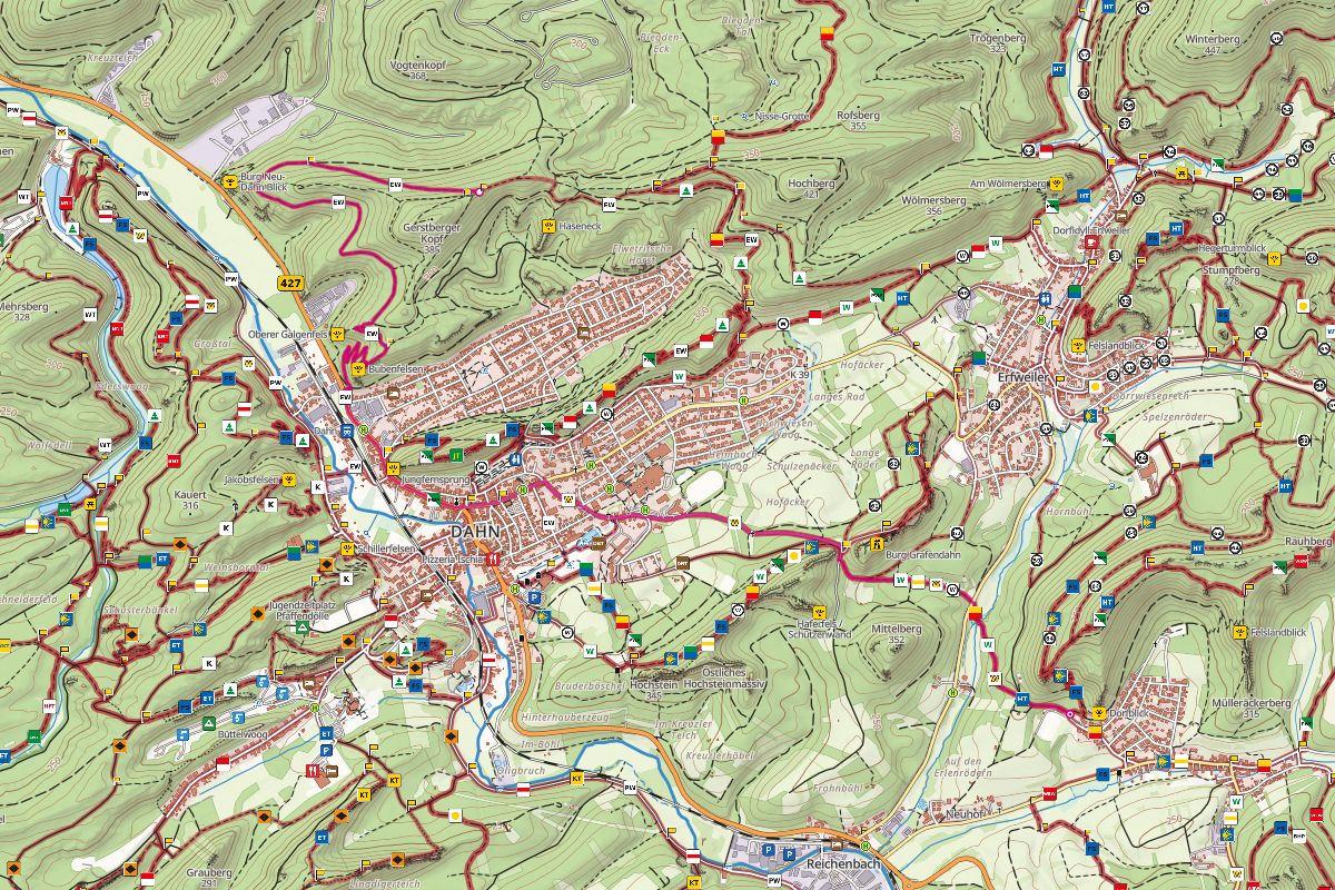
Hiking map east of Dahn with an uploaded GPX track drawn in magenta over the trails, waymarks and contour lines

Bring your GPX

Load your own track or drop the file onto the map. It shows up in magenta, the classic print colour of orienteering maps, on top of the map.

  • Your track, clearly visible
  • Set the print area around the track with one click
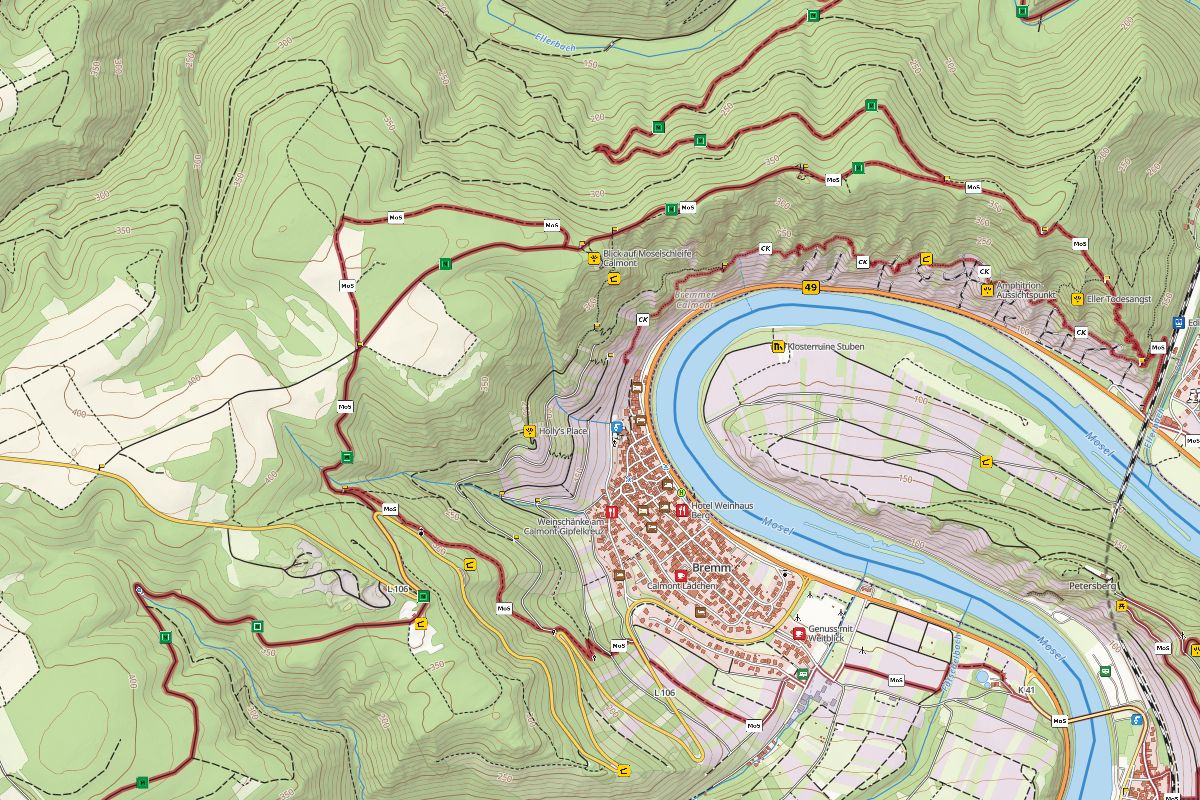
Hiking map of the Calmont and Bremm on the Moselle: marked trails with waymarks, a steep rocky vineyard slope with contour lines, hillshade, viewpoints and inns

A style made for hiking

The map shows what helps on a walk instead of everything. Paths by difficulty, marked hiking routes with their real waymarks placed along the trails, contour lines and hillshade.

  • Shelters
  • Places to eat
  • Hiking car parks
  • Picnic and barbecue sites
  • Accommodation
  • Toilets
  • Drinking water and springs
  • Castles and ruins
  • Viewpoints
  • Guideposts
  • Bus stops

Paper maps are not web maps.

Paper maps are more demanding: everything important has to be on the sheet and readable without zooming. That's why you can't just print a web map. capercailye sets out to solve exactly this: the map style picks what matters and moves symbols apart instead of stacking them on top of each other.

How it works

  1. Explore

    Search for a place and look around the map.

  2. Draw

    Drag out the area you want to take with you.

  3. Pages

    Check the pages, export the PDF and print it.

Open the map

Screenshots of the map itself, no mock-ups.

Map images: © OpenStreetMap contributors (ODbL) · Relief: Mapterhorn, German state survey agencies, modified · Bus stops (where shown): DELFI e.V. / gtfs.de, analysed (CC BY 4.0) · Full sources

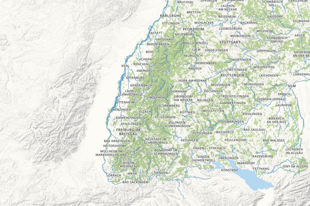
Coverage: map data is available for all of Germany.

Free and open source

capercailye is free to use and open source (MIT). It only exists because other people decided to share their work openly, and we are grateful to every one of them.

Open data and infrastructure

  • OpenStreetMap: the map data itself, mapped and maintained by thousands of volunteers.
  • Mapterhorn: open elevation tiles for hillshade and contour lines, built on the open data of the state surveying offices.
  • Photon by komoot: the place search.
  • gtfs.de: timetable data for the bus stops.

Software

Ready for the trail?

Make a map